Travelling the Binns Track: a Step-by-Step Guide
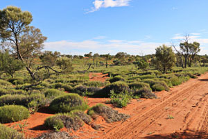
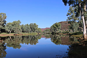
The Binns Track is a collection of sealed and gravel roads and four-wheel drive tracks linking Mt Dare, on the edge of the Simpson Desert in South Australia, to Timber Creek in the Northern Territory’s top end. Altogether the Binns Track covers nearly 2,200 kilometres. It passes through a diversity of landscapes and environmental communities from the Simpson Desert sand dunes to the Savannah grasslands. In all, the Track offers adventure, history and stunning scenery for the four-wheel drive traveller.
Introduction
The Binns Track is named after Bill Binns, who worked for the Northern Territory Parks and Wildlife Service. Bill started as a ranger and rose to the level of Executive Director over his 32 years of service. His long held enthusiasm for this amazing four-wheel drive journey finally became a reality in 2008.
The starting point is at Mt Dare on the edge of the Simpson Desert. The final destination is Timber Creek in the tropical zone of the Northern Territory. South to north on the Binns Track is the most popular way to go, but odd travellers do journey from north to south. It’s best to travel in a small convoy for safety.
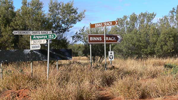
The Binns Track is meticulously signposted throughout its route with every turn or change of direction clearly marked. Although it is hard to get lost on this trek, some sections are very isolated. So be self-sufficient and carry plenty of food and fuel supplies and be careful on the tracks.
The Binns Track: a step-by-step guide
Mt Dare to Alice Springs
Mt Dare is actually in South Australia and part of Witjira National Park. The former homestead of a cattle station provides welcome services to all travellers especially those crossing the Simpson Desert. So top up your fuel tanks here before heading on the next part of your trip.
From Mt Dare the track soon crosses into Northern Territory and over the normally dry Finke River. The direct route to Old Andado is subject to flooding and track damage caused by heavy rain events. Therefore, it may be necessary to use the longer route through New Crown to reach Old Andado homestead.
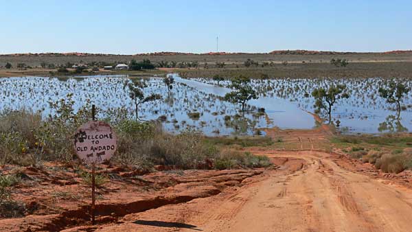
Molly Clark, a stalwart pastoralist, was owner of Old Andado homestead, a significant historical site. The site has been preserved the way that Molly left it when she was forced to move to Alice Springs. Molly also founded the National Pioneer Women’s Hall of Fame in Alice Springs in the 1990s.
There is a camping area here with toilets and showers available and an honesty box for camp fees.
From Old Andado the Binns Track heads for Alice Springs. This road is good gravel over well-formed tracks. The scenery changes dramatically, with first the parallel sand dunes of the Simpson Desert and later through hilly ranges.
Alice Springs is a busy regional centre and one of the largest townships of the Northern Territory. There is plenty to interest the traveller here with museums, art galleries and desert wildlife park. The township also offers the opportunity of stocking up with fuel and supplies for the more isolated adventure to come.
Alice Springs to Gemtree
The Binns Track follows the Ross Highway east from Alice Springs on bitumen. After 35 kilometres the track turns onto the Numery Road to reach the Ross River. Now there is more 4-wheel driving as the track follows the mostly dry river bed and crosses it several times.
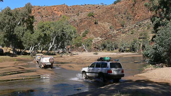
N’Dhala Gorge is located along this track. Visit the Gorge for its spectacular scenery and Aboriginal rock carvings.
It’s not far now along the river track to Ross River Resort. There is a range of accommodation options, including a campground and fuel supplies.
Trephina Gorge is located a short detour from the Binns Track from Ross River. This is another scenic spot located in the Eastern Macdonnell Ranges. Its features include two impressive gorges, walking tracks, stunning views and a camping area.
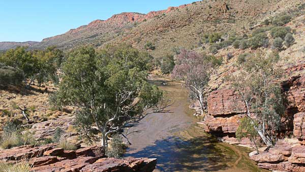
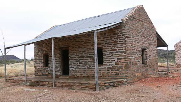
Now the Binns Track heads further east over a well-formed gravel road for the Arltunga Historic Reserve. This area preserves the site of an old gold mining area and township site. A 4-wheel drive track to the east leads to Ruby Gap and Glen Annie Gorge where rubies were discovered. This track is often closed due to track damage.
The Binns Track heads north west from Arltunga, along an easy 4-wheel drive track. After approximately 100 kilometres, this track reaches the Plenty Highway near Gemtree Caravan Park. There is a range of accommodation available and an outlet for fuel and supplies if you need to top up.
Gemtree offers guided tagalong gem-fossicking tours to nearby zircon and garnet fields. There is a gem-cutter on site who will check and polish any likely gems found on this tour. The Gem Room and Gallery displays gems, jewellery and Aboriginal art.
Gemtree to the Davenport Ranges
The Binns Track now passes through cattle station properties in this section of the trip. Carry plenty of water and spare fuel as the distance between fuel stops is quite long through this area.
The first part of this section follows the Plenty Highway eastwards. At first bitumen, this road soon becomes gravel and can be impassable when wet. The Binns Track leaves the highway after approximately 90 kilometres and turns northwards once more. Grass and shrublands are the main vegetation here. There are rivers to negotiate which may have some water in them.
The Boxhole Meteorite Crater on Dneiper Station makes an interesting detour. It is best to first get permission to enter the site from the homestead located nearby.
The Bundey River has a wide sandy bed but with very little water. Some of the track can be rough and narrow in this section, so be careful through here.
There is a short stint on the dry weather only Sandover Highway. Then the Binns Track once again turns in a northerly direction. This road is good gravel for approximately 120 kilometres until the track turns onto a rougher, rocky 4-wheel drive track.
Davenport Ranges National Park
A pretty waterhole and water crossing mark the beginning of the Iywelepenty/ Davenport Ranges National Park. This national park protects an important environmental zone of waterholes and rocky, scenic terrain.
Travellers will see Hatches Creek mining ruins where Wolframite was discovered in 1914. Wolfram was used in the hardening of steel. So there was strong demand for it during both world wars and the Korean war.
There are two ways of reaching Old Police Station Waterhole. The alternate Frew River Track consists of very rocky terrain across the range while offering scenic views along the way. But it is rugged and towing trailers is not recommended. The main track is longer, but easier.
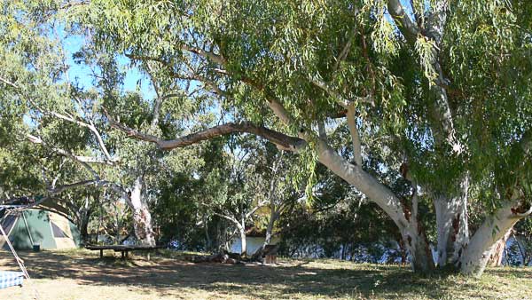
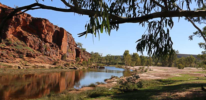
Old Police Station Waterhole is one of two very pretty waterholes designated as camping areas in the park. There is good camping beside the permanent and large waterhole here. Travellers can have a refreshing break from travelling. The other camping area on Whistleduck Creek is on the north side of the national park.
Davenport Ranges to Dunmarra
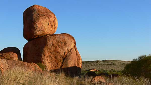
Back at the Stuart Highway, you can take a short deviation south to find the Devils Marbles Conservation Reserve. This Reserve features a remarkable collection of large rounded rocks and is a sacred site for the local Aboriginal people. There is a camping ground here too.
The way north now is along the Stuart Highway, which closely follows the route of explorer, John McDouall Stuart. He was the explorer who successfully crossed Australia from Adelaide to Darwin in 1861.
Tenant Creek became a township after gold was discovered here in 1932. A telegraph repeater station was built nearby in 1870. This is part of the Overland Telegraph Line, which links Australia with the world. The repeater station has been restored and is well worth a visit.
Travellers can refresh all their supplies in Tennant Creek.
The Binns Track continues along the main Stuart Highway, approximately 300 kilometres. It passes through the townships of Renner Springs and Elliot on its way north to Ddunmarra.
Dunmarra is a roadhouse offering all of a traveller’s needs including camping and caravan facilities.
Dunmarra to Judbarra/Gregory National Park
From Dunmarra the Binns Track now follows the mostly gravel Buchanan Highway to Top Springs, approximately 180 kilometres from the Stuart Highway.
Top Springs is a roadhouse located at the junction of the Buchanan Highway with the Buntine Highway. Facilities at Top Springs include fuel, some food and camping area.
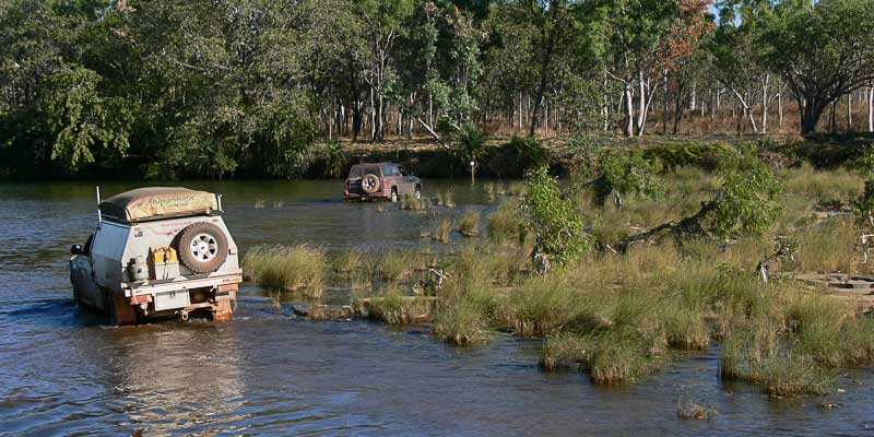
Victoria River Downs Station is another 102 kilometres further west along the Buchanan Highway. From there the Binns Track continues into Judbarra/Gregory National Park. Now the way offers some challenging river crossings and rough, rocky track. These tracks are slow going so it’s best not to be in a hurry through this section.
Low clearance vehicles and those towing trailers should continue on the Buchanan Highway. The road is still gravel through scenic Jasper Gorge, where a pretty creek passes through a range of hills.
Judbarra/Gregory National Park is named after explorer Augustus Gregory. Covering an area of about 13,000 square kilometres, the park features spectacular gorge and range scenery. There are several camping options, with the main one near the site of the old Bullita Homestead. With several drives and many features to explore, spend some time in the park to see as much as possible.
Timber Creek
Timber Creek on the Victoria Highway is a small township that marks the end of the Binns Track. There are a historic police station, river and escarpment lookouts, memorials and historic boab trees to explore near Timber Creek. A range of services and accommodation is available here too.
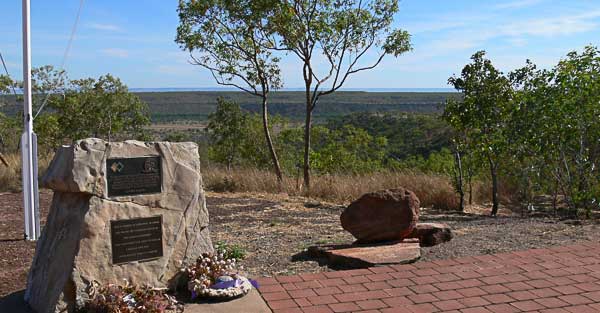
And so ends the Binns Track journey. For more information, see the excellent Binns Track: 4WD Adventure Guide available from Westprint Heritage Maps. This map guide book has detailed maps along every section of the track. It also includes heritage and touring information and interesting facts about many of the highlights of the journey.
And you can see most of this adventure in our video The Binns Track: Savannah to Simpson. Yes, we were one of the odd groups that travelled this trip from north to south.
If you complete your adventure at Mt Dare, then you might choose to go home across the Simpson Desert. You might find our Simpson Desert: 50 Years On video to be of help here. Or our Old Ghan Heritage Trail features the Oodnadatta Track.
From Timber Creek turn west to visit the Kimberley and our video Colours of the Kimberley might help there. Turn eastwards and you are travelling on the Savannah Way and we have you covered there too.
